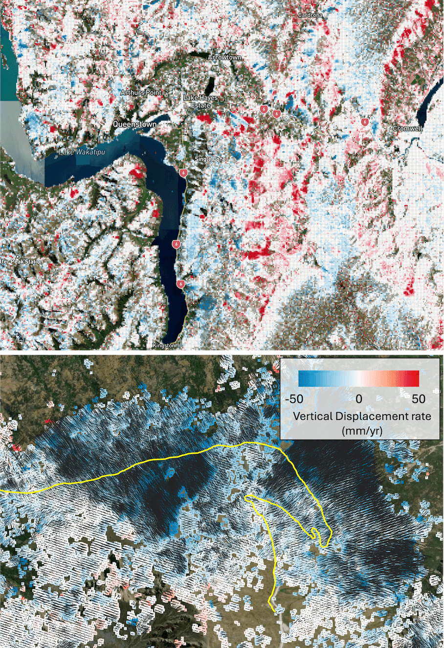
Landslide Mapping
With its dynamic environment and complex geology, landslides form a significant and widespread hazard across Aotearoa. Traditional ground-based surveying is often too localised, dangerous, or expensive to deploy at scale.
InSAR enables us the ability to measure millimeter-level ground deformation at high spatial and temporal resolutions providing a powerful, cost-effective tool for landslide mapping at regional and national scales.
I currently co-lead the Landslide Watch Aotearoa Endeavour Reseach Programme with Dr Chris Massey at ESNZ aiming to develop a dynamic national landslide forecasting system. This system will use space-based observations to identify areas affected by slow-moving landslides, integrate climate science and geotechnical engineering to analyse the factors driving their movement, and leverage machine learning to predict the conditions under which they might transition into faster-moving slides and flows.
Additional GeoSAR services can provide:
Proactive Hazard Identification: Detect subtle, slow-moving ground displacements over time to deliver actionable intelligence to protect transportation networks, utilities, and communities situated in high-risk zones.
Cost-Effective Scalability: Monitor thousands of square kilometers simultaneously without the need to deploy expensive on-the-ground equipment or personnel to hazardous areas.
Historical Data Analysis: Utilize archival satellite data to understand the long-term movement history of slopes, providing vital context for future risk assessments.