Coastal Vertical Land Movement (VLM)
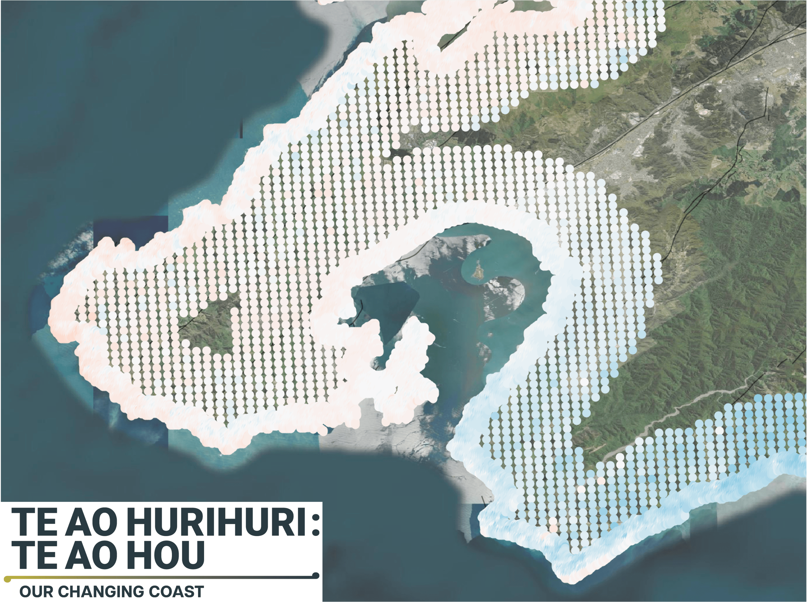
Coastal vertical land movement (VLM)—the slow rising or sinking of land along shorelines—is a critical, yet often overlooked, factor in coastal hazard planning. Driven by tectonic activity, sediment compaction, and groundwater extraction, these subtle shifts dramatically alter how coastlines interact with global sea-level rise. Sinking land effectively accelerates local sea-level rise, compounding flood risks and accelerating erosion.
Through the Our Changing Coast Endeavour program, we are using advanced InSAR (Interferometric Synthetic Aperture Radar) techniques to provide millimeter-accurate measurements of coastal ground motion over time. By integrating this VLM data with global climate models, we generate highly localized, precise relative sea-level rise projections. This insight is vital for local councils, infrastructure managers, and coastal communities to accurately assess risk and design effective, long-term adaptation strategies.
At GeoSAR we can provide:
Bespoke Vertical Land Movement Mapping: If you need improved spatial resolutions over key areas we can provide bespoke local analysis.
Targeted Risk Assessment: Understand the underlying causes of coastal changes—from tectonics to urban loading — to inform better planning.
Future-Proof Planning: Provide decision-makers with the best available data and methodologies needed to help design effective adaptation strategies and protect vulnerable coastal communities.